
July 22, 2026
A New Facebook Campaign
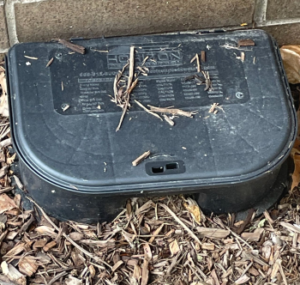
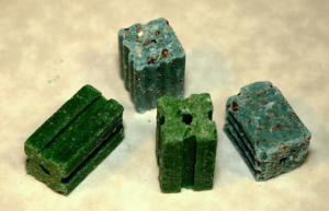
I recently started a new Facebook page for Protect Our Wildlife and Pets, an ad hoc coalition formed to address…

I bought this map reproduction a while back and forgot about it. Took it out to have framed for John Fell History Day on Sunday, and realized (again) that it has Fell's and Hopper's properties marked between Paramus and "Ramapoe."
The big map (above) has a square in the upper right to give you an idea of where the property is. In the enlrgement below, you can clearly read "Fell's." At least I can.
The map is called "A sketch of the Northern Parts of New Jersey," traced for a 1781 map. It also shows part of the province of New York. Present-day Secaucus is an island. High Mountain is no doubt on there somewhere. Just gotta figure out where.
See for yourself on Sunday.
July 22, 2026
July 22, 2026

July 13, 2026

May 24, 2026