
March 5, 2026
The Sky’s the Limit for This Birder
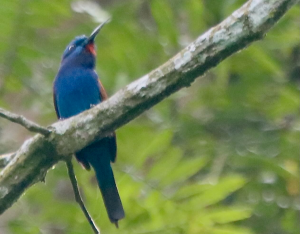
Fewer than 500 people worldwide have reported seeing this African bird – a blue-moustached bee-eater. Photo by Marc Chelemer By…

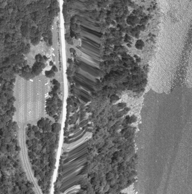
I have a one-month subscription to Historic Aerials that expires today.
I downloaded a bunch of images, including a topographical map in case anyone is interested. Think of the aerials as a soaring raptor’s eye view. (What you see is what you get. This was the best resolution I could get.
The shot above is from 1966….

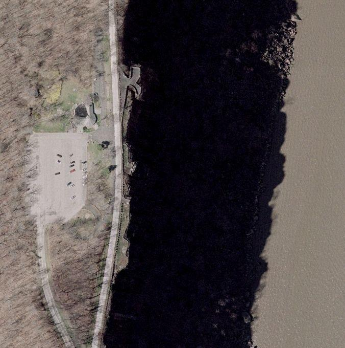
1995
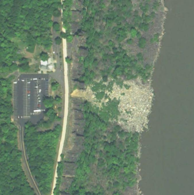
2004
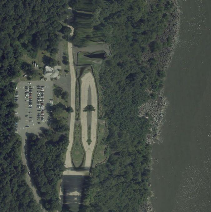
2015
2023
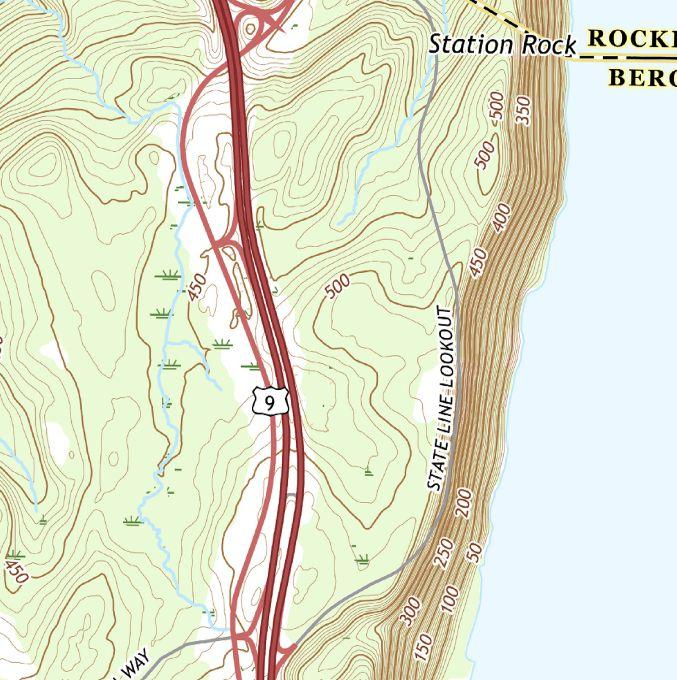
State Line Topographical Map 2019
March 5, 2026

March 3, 2026
February 27, 2026

February 20, 2026